Vision
Our vision is to maintain a dynamic and interconnected European 3D geological community that leverages collaborative knowledge and expertise to advance our understanding of the Earth's subsurface.
Our vision is to maintain a dynamic and interconnected European 3D geological community that leverages collaborative knowledge and expertise to advance our understanding of the Earth's subsurface.
To exchange progress, problems and solutions in our common quest to understand and communicate the 3D composition and properties of the subsurface to support science-based decision making at local, regional and national scales.
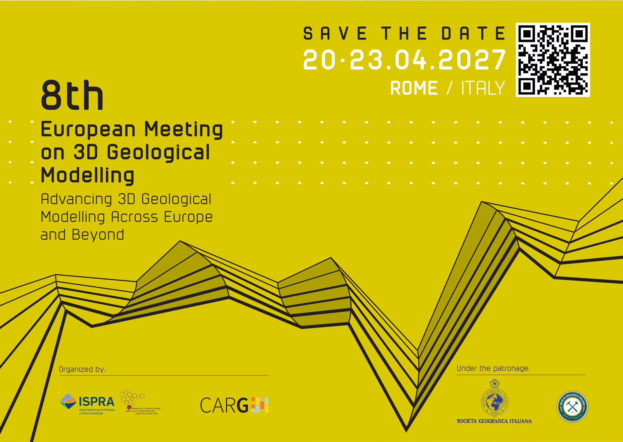
Join us in Rome for the next community meeting
Join our mailing list if you want to be kept informed about future European 3D geological modelling community meetings and associated events.
3D geological modelling addresses societal issues across number of areas and themes, in both the shallow and deep subsurface. The meetings and this website help communicate need and purpose of 3D geological modelling which include:
At the annual meeting of the Geological Society of America in Minneapolis in 2011, a group of people decided it would be a good idea for the Geological Surveys of Europe to not only meet in North America, but perhaps to start their own meeting and workshop series. This was led by Holger Kessler (formerly of the British Geological Survey), Michiel van der Meulen (TNO) and Gerold Diepolder (retired - Bavarian Environment Agency). Holger, Michel and Gerold facilitated the organisation first batch of meetings between geological survey organisations beginning in Utrecht (2013), Edinburgh (2014), Wiesbaden (2016), and subsequently representatives from other geological surveys took over with meetings in their respective countries. These events were in Orléans - BRGM (2018), Bern - SwissTopo (2019), Copenhagen - GEUS (2023) and Warsaw – PGI (2025).
The baton has now been passed on to the organisers of the next meeting, the Geological Survey of Italy, which is scheduled for 2026/2027 in Rome.
This website holds the abstracts, presentations, and images from the meetings as well as links to resources and other groups/websites of interest.
The site is hosted by the British Geological Survey on behalf of the organisers from the Geological Surveys of Germany (SGD), the Netherlands (TNO), France (BRGM) and Great Britain (BGS), Switzerland (SwissTopo), Denmark (GEUS), Poland (PGI) and Italy (Ispra).
The content of the individual presentations is subject to copyright and permission for re-production should be sought from the authors.
The main activity of the community are the European meetings, which are held approximately every two years. The host venue rotates each time.
Join our mailing list if you want to be kept informed about future European 3D geological modelling community meetings and associated events.
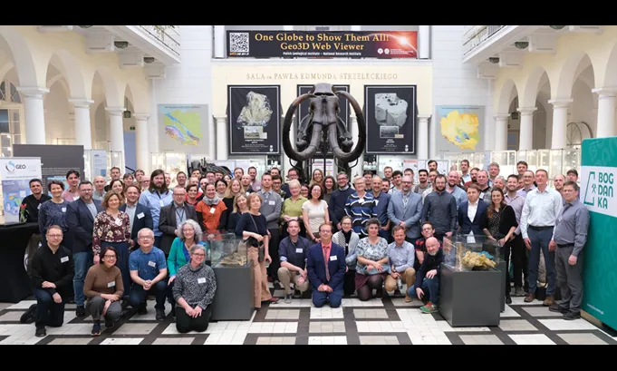
New frontiers and challenges in geomodelling. Warsaw, Poland — May 2025.
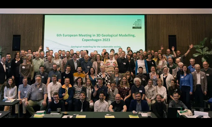
Geological modelling for the sustainable society. Copenhagen, Denmark — May 2023.
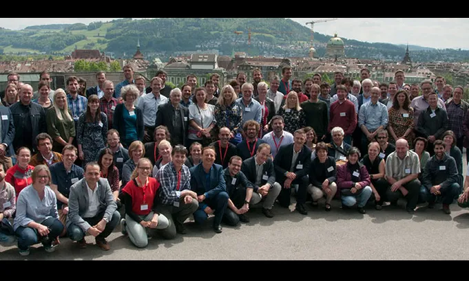
The role of 3D geology in spatial planning. Bern, Switzerland — May 2019.
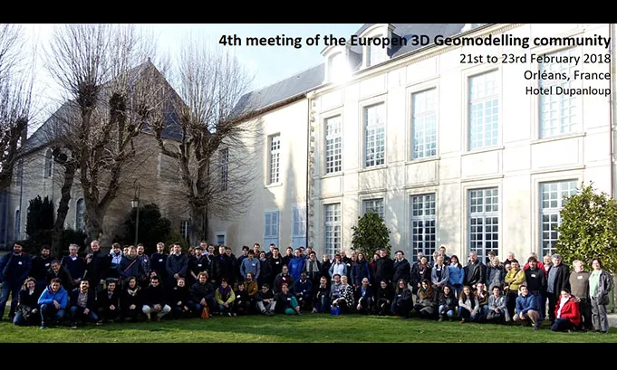
Delivering subsurface models for societal challenges. Orléans, France — February 2018.
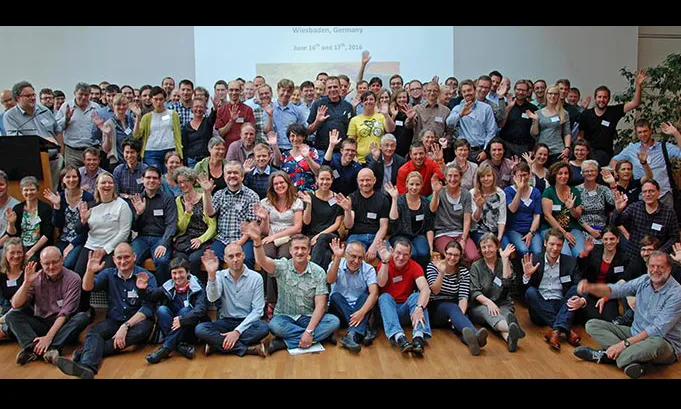
A field trip, followed by two days of talks, discussion, demonstrations and networking. Wiesbaden, Germany — June 2016.
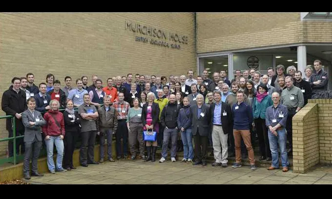
To exchange progress, problems and solutions in our common quest to understand and communicate the 3D composition and properties of the subsurface to support science-based decision making. Edinburgh, UK — November 2014.
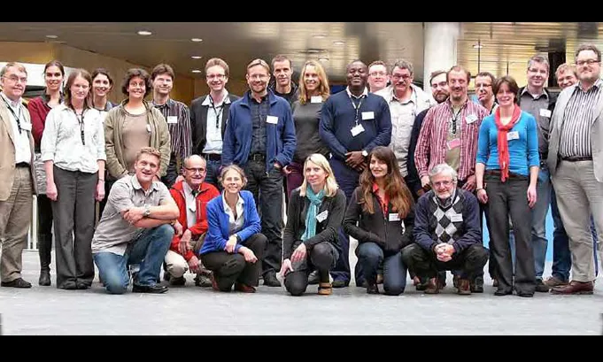
Workshop on 3D geological modelling methodologies. Utrecht, Netherlands — September 2013.
Below is the Geo3D Library, a central hub for publicly available online 3D geological models collated and made available by the Polish Geological Institute. If you have any questions about the content of the Geo3D library or the Geo3D Viewer please contact the Geo3D team (geo3d@pgi.gov.pl)
Enquiries regarding the contents of this site should be directed to Ricky Terrington at the British Geological Survey.