Utrecht | Edinburgh | Wiesbaden | Orléans | Bern | Copenhagen
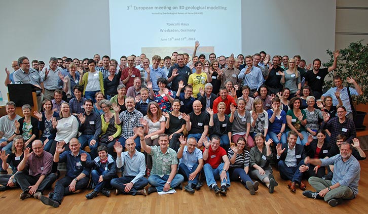
3rd European Meeting on 3D Geological Modelling
Roncalli Haus, Wiesbaden, Germany. June 16th and 17th 2016
Fieldtrip. June 15th 2016
Host: Geological Survey of Hesse (HLNUG)
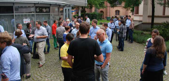
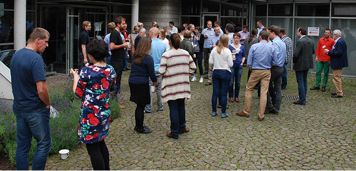
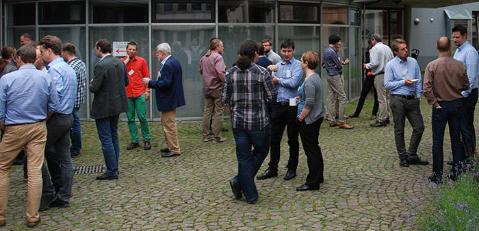
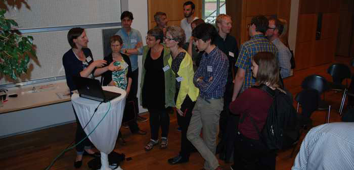
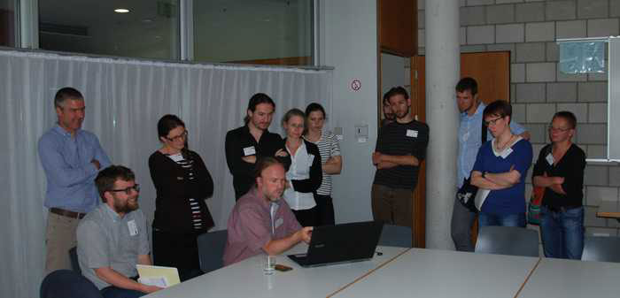
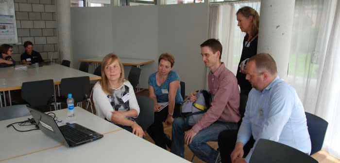
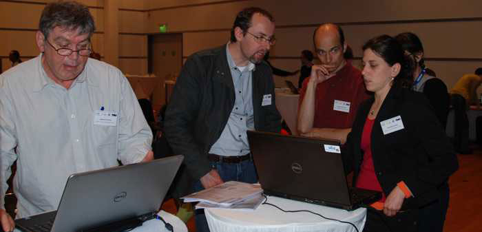
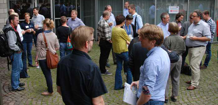
The well-attended meeting in Wiesbaden, Germany kicked-off with a field trip on the 15th,
followed by two days of talks, discussion, demonstrations and networking.
Downloads
- Agenda: (PDF)
- Welcome Address: Fred Rosenberg, Head of Department Geology [HLNUG] (PDF)
Country Overviews & Highlights (alphabetical by country name)
- AUSTRIA — GBA: Sebastian Pfleiderer (PDF)
- CZECH REPUBLIC — ČGS: Jan Franěk (PDF)
- DENMARK & GREENLAND — GEUS: Peter Sandersen (PDF)
- FINLAND — GTK: Salla Valpola (PDF)
- FLANDERS (BELGIUM) — VITO: Roel De Koninck (PDF)
- FRANCE — BRGM: Christelle Loiselet (PDF)
- GERMANY — LfU/Kf3D: Gerold Diepolder (PDF)
- IRELAND — GSI: Beatriz Mozo (PDF)
- ITALY — ISPRA: Chiara D'Ambrogi (PDF)
- POLAND — PGI: Ewa Szynkaruk (PDF)
- SLOVENIA — GeoZS: Dejan Šram (PDF)
- SPAIN — IGME: Conxi Alaya (PDF)
- SWEDEN — SGU: Lars Kristian Stölen (PDF)
- SWITZERLAND — swisstopo: Roland Baumberger (PDF)
- UK — BGS: Holger Kessler (WWW)
- Wiley Book Proposal — Applied Multidimensional Geological Modelling...: Turner, A K, Kessler, H, and van der Meulen, M (PDF)
Talks
Session 1: Model storage management and delivery (versioning, metadata and quality, dissemination and visualization)
- Management of 3D Geological Models at the BGS: Ben Wood, and Martin Nayembil [BGS] (PDF)
- Versioning and data management in decades–lasting projects: Markus Hölzner, and Christian Dresbach [BGR] (PDF)
- 3D Regional Geological Modelling in Poland: Zbigniew Małolepszy, Ewa Szynkaruk, Urszula Stępień, and PGI–NRI Modeling Team [PGI] (PDF)
- Using (hydro) geological models in the DOV web portal: Pieter De Graef [GEOSPARC] (PDF)
- A conceptual model for 3d geological model data and testing capabilities in spatial databases: Marianne B Wiese, and Christian Brogaard Pedersen [GEUS] (PDF)
- New applications and projects wiht GST: Jan Gietzel, and Paul Gabriel [GiGa infosystems] (PDF)
- Data Management and Visualisation of 3D–Objects in the Geothermal Information System GeotIS: Thorsten Agemar, Jessica–Aileen Alten, Lothar Gorling, et al. [LIAG] (PDF)
Session 2: Model interoperability and standards (incl. data models, INSPIRE compliance and an update of relevant EU/trans-border initiatives)
- 3D Modelling based on 2D seismic data: application to a Belgium–Dutch cross–border hydrogeological project: Maryke den Dulk [TNO] (PDF)
- The H3O–PROJECT: closing the gap between our nationwide (hydro)geological models: Ronald Vernes, Jef Deckers, Griet Verhaert, et al. [Project H30] (PDF)
- Collaborative 3D geological modelling — A review from Switzerland: Robin Allenbach, and Roland Baumberger [Federal Office of Topography swisstopo] (PDF)
- Raising Multiscale 3D Geological Models Interoperability: Beaufils, M, Bellie, C, Calcagno, P, et al. [BRGM] (PDF)
- Opportunities For International / EU Cooperation: Michiel van der Meulen [TNO] (PDF)
Session 3: Model use and applications (esp. cross–domain use cases eg. in the urban environment, BIM, groundwater and environmental management)
- Applying 3D Geological Modeling to Infrastructure Design: Alan Keith Turner1,2 & Holger Kessler2 [(1) Colorado School of Mines, (2) BGS] (PDF)
- From data to 3D model: Torben Bach1, Rikke Jakobsen1, Mats Lundh Gulbrandsen2, Thomas Mejer Hansen2, Flemming Jørgensen3, Anne-Sophie Høyer3, Peter Dahlqvist4 [(1) I-GIS, (2) Niels Bohr Institute, (3) GEUS, (4) SGU] (PDF)
- The UK's 'National Geological Model': Jon Ford [BGS] (PDF)
- Status update on GeoTOP, a 3D voxel model of the Netherlands: Hein Raat [TNO] (PDF)
- Need for flexible volume discretization of a 3D surface model: Ines Görz, Jana Börner, and Klaus Spitzer [TU Bergakademie Freiberg] (PDF)
- A parameterised 3D–Structure–Model for the state of Bremen (Germany): Dr Katherina Seiter, and Dr Björn Panteleit [GDfB] (PDF)
- Using 3D Geological Modelling in Civil Industry: Tina Živec [Elea iC] (PDF)
- Transboundary Geological 3D–Modelling: An insight into applied projects in Saxony: Ina Zander, Ottomar Krentz [Freistaat Sachsen] (PDF)
- 3D Geological Models: Application in water resource management and groundwater protection: Michael Howahr [OOWV] (PDF)
- A 3D–model of the Uppsala esker: Eva Jirner [SGU] (PDF)
- GeoQuat: Developing a system for the sustainable management, 3D modelling & application of Quaternary deposit data: Stefan Volken [Swiss Geological Survey – swisstopo] (PDF)
- A geological 3D–information system for subsurface planning in urban areas – case study Darmstadt(Hesse, Germany): Rouwen Lehné, Hanna Kuhn, Heiner Heggemann, and Christian Hoselmann [HLNUG] (PDF)
Wiesbaden, Germany | Gallery
Wiesbaden, Germany


